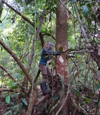
The Utilization of ALOS PALSAR Image to Estimate Natural Forest Biomass: Case Study at Bogani Nani Wartabone National Park (Pemanfaatan Citra ALOS PALSAR dalam Menduga Biomasa Hutan Alam: Studi Kasus di Taman Nasional Bogani Nani Wartabone)
Abstract
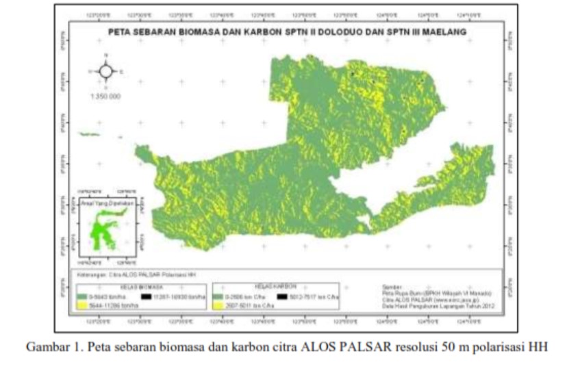
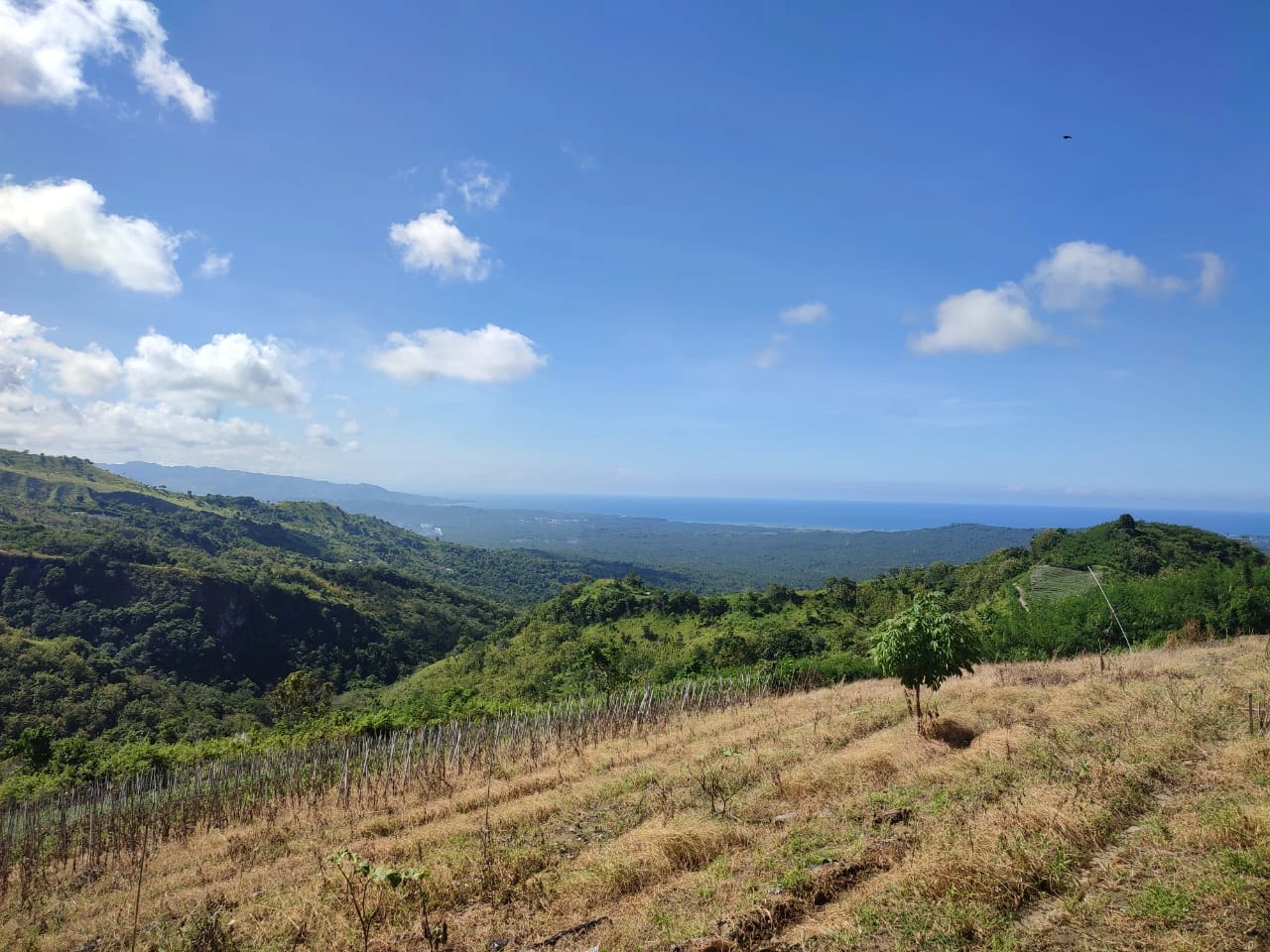
The development of remote sensing technology makes it possible to utilize its data in many sectors including forestry. Remote sensing image has been used to map land cover and monitor deforestation. This paper presents utilization of ALOS PALSAR image to estimate and map aboveground biomass at natural forest of Bogani Nani Wartabone National Park especially SPTN II Doloduo and SPTN III Maelang. We used modeling method between biomass value from direct measurement and digital number of satellite image. There are two maps which present the distribution of biomass and carbon from ALOS PALSAR image with 50 m spatial resolution. These maps were built based on backscatter polarization of HH and HV bands. The maps indicate most research area dominated with biomass stock 0-5.000 ton/ha.
##submission.copyrightStatement##
##submission.license.cc.by-nc4.footer##Copyright and License
All articles published in Wasian Journal are the property of the authors. By submitting an article to Wasian Journal, authors agree to the following terms:
-
Copyright Ownership: The author(s) retain copyright and full publishing rights without restrictions. Authors grant the journal the right to publish the work first and to distribute it as open access under a Creative Commons Attribution 4.0 International License (CC BY 4.0).
-
Licensing: Articles published in Wasian Journal are licensed under a Creative Commons Attribution 4.0 International License (CC BY 4.0). This license allows others to share, copy, and redistribute the material in any medium or format, and adapt, remix, transform, and build upon the material for any purpose, even commercially, provided that proper credit is given to the original author(s) and the source of the material

This work is licensed under a Creative Commons Attribution 4.0 International License. -
Author's Rights: Authors are permitted and encouraged to post their work online (e.g., in institutional repositories or on their website) prior to and during the submission process, as it can lead to productive exchanges and greater citation of published work.
-
Third-Party Content: If your article contains material (e.g., images, tables, or figures) for which you do not hold copyright, you must obtain permission from the copyright holder to use the material in your article. This permission must include the right for you to grant the journal the rights described above.
-
Reprints and Distribution: Authors have the right to distribute the final published version of their work (e.g., post it to an institutional repository or publish it in a book), provided that the original publication in Wasian Journal is acknowledged.
For the reader you are free to:
- Share — copy and redistribute the material in any medium or format for any purpose, even commercially.
- Adapt — remix, transform, and build upon the material for any purpose, even commercially.
- The licensor cannot revoke these freedoms as long as you follow the license terms.
Under the following terms:
- Attribution — You must give appropriate credit , provide a link to the license, and indicate if changes were made . You may do so in any reasonable manner, but not in any way that suggests the licensor endorses you or your use.
- No additional restrictions — You may not apply legal terms or technological measures that legally restrict others from doing anything the license permits.
Notices:
You do not have to comply with the license for elements of the material in the public domain or where your use is permitted by an applicable exception or limitation .
No warranties are given. The license may not give you all of the permissions necessary for your intended use. For example, other rights such as publicity, privacy, or moral rightsmay limit how you use the material.

