The Changes in Vast Mangrove Area of Pantai Air Telang Protected Forest Banyuasin District using Landsat Imagery Data Time Series
Abstract
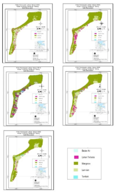
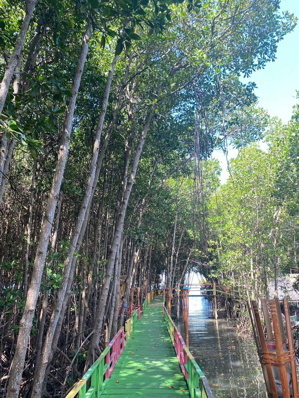
This study aimed to obtain data about far-reaching changes on the total area of mangrove at Air Telang Beach Protected Forest through the interpretation of Landsat 7 imagery data using open source software (Ilwis 2000) in years 2000, 2003, 2006, 2009 and 2012. In the first phase, mangrove identification was conducted through cropped imagery data based on the research area which is path 124 raw 62 using RGB543 composite band. Then, mangrove and non-mangrove area are separated using unsupervised classification method. The next phase, mangrove density analysis is directed by applying NDVI formula. The results showed that the total area of mangrove has decreased over a period of 12 years by 10.72 % of total mangrove area on 2000 (7,968.54 ha) with 7,147.12 on 2012. Vegetation Index analysis shows high density mangrove is dominated although it continues to decrease, followed by increasing mangrove area with medium density.
Copyright (c) 2017 Jurnal Wasian

This work is licensed under a Creative Commons Attribution-NonCommercial 4.0 International License.
Copyright and License
All articles published in Wasian Journal are the property of the authors. By submitting an article to Wasian Journal, authors agree to the following terms:
-
Copyright Ownership: The author(s) retain copyright and full publishing rights without restrictions. Authors grant the journal the right to publish the work first and to distribute it as open access under a Creative Commons Attribution 4.0 International License (CC BY 4.0).
-
Licensing: Articles published in Wasian Journal are licensed under a Creative Commons Attribution 4.0 International License (CC BY 4.0). This license allows others to share, copy, and redistribute the material in any medium or format, and adapt, remix, transform, and build upon the material for any purpose, even commercially, provided that proper credit is given to the original author(s) and the source of the material

This work is licensed under a Creative Commons Attribution 4.0 International License. -
Author's Rights: Authors are permitted and encouraged to post their work online (e.g., in institutional repositories or on their website) prior to and during the submission process, as it can lead to productive exchanges and greater citation of published work.
-
Third-Party Content: If your article contains material (e.g., images, tables, or figures) for which you do not hold copyright, you must obtain permission from the copyright holder to use the material in your article. This permission must include the right for you to grant the journal the rights described above.
-
Reprints and Distribution: Authors have the right to distribute the final published version of their work (e.g., post it to an institutional repository or publish it in a book), provided that the original publication in Wasian Journal is acknowledged.
For the reader you are free to:
- Share — copy and redistribute the material in any medium or format for any purpose, even commercially.
- Adapt — remix, transform, and build upon the material for any purpose, even commercially.
- The licensor cannot revoke these freedoms as long as you follow the license terms.
Under the following terms:
- Attribution — You must give appropriate credit , provide a link to the license, and indicate if changes were made . You may do so in any reasonable manner, but not in any way that suggests the licensor endorses you or your use.
- No additional restrictions — You may not apply legal terms or technological measures that legally restrict others from doing anything the license permits.
Notices:
You do not have to comply with the license for elements of the material in the public domain or where your use is permitted by an applicable exception or limitation .
No warranties are given. The license may not give you all of the permissions necessary for your intended use. For example, other rights such as publicity, privacy, or moral rightsmay limit how you use the material.

