Dynamic of the Land Use and Land Cover Change in Banyuwangi Regency From 1995-2019

Abstract
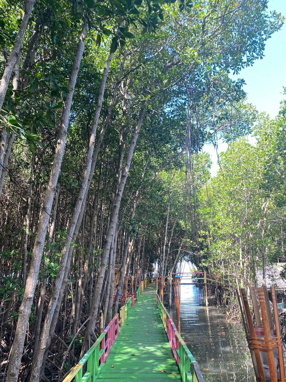
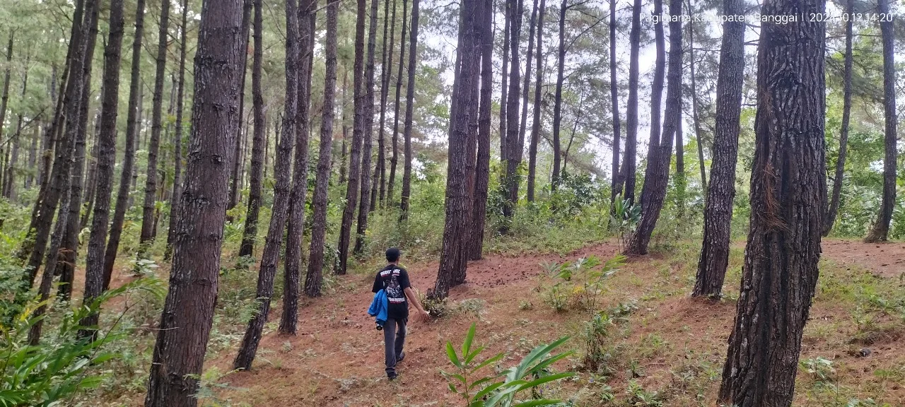
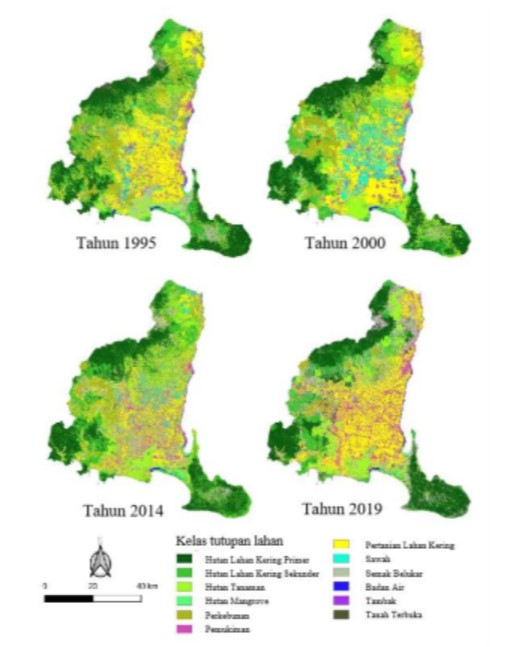
The land use and land cover change phenomenon has become one concern over many regions worldwide, including Indonesia. Land use and land cover change due to human activities triggered alteration terrestrial ecosystems and its services including climate control functions. The study aimed to analyze land use and land cover change in Banyuwangi regency during 1995 – 2019. Four satellite images from acquisition year 1995, 2000, 2014 and 2019 were used to analyze the spatial and temporal changes along with field observations. The classification processes of land use and land cover included determination of training areas, supervised classification, and accuracy assessment. There are 12 land use and land cover based on supervised classification as follow primary forest, secondary forest, plantation forest, mangrove forest, plantation, settlement, cropland, paddy field, shrubs, water, fishpond and barren land. The result showed during observation period of 1995 until 2019 land use and land cover which tends to decrease are secondary forest, mangrove forest, and rice fields. On the other hand, the area of settlements, shrubs and fishponds were increased significantly.
##submission.copyrightStatement##
##submission.license.cc.by-nc4.footer##Copyright and License
All articles published in Wasian Journal are the property of the authors. By submitting an article to Wasian Journal, authors agree to the following terms:
-
Copyright Ownership: The author(s) retain copyright and full publishing rights without restrictions. Authors grant the journal the right to publish the work first and to distribute it as open access under a Creative Commons Attribution 4.0 International License (CC BY 4.0).
-
Licensing: Articles published in Wasian Journal are licensed under a Creative Commons Attribution 4.0 International License (CC BY 4.0). This license allows others to share, copy, and redistribute the material in any medium or format, and adapt, remix, transform, and build upon the material for any purpose, even commercially, provided that proper credit is given to the original author(s) and the source of the material

This work is licensed under a Creative Commons Attribution 4.0 International License. -
Author's Rights: Authors are permitted and encouraged to post their work online (e.g., in institutional repositories or on their website) prior to and during the submission process, as it can lead to productive exchanges and greater citation of published work.
-
Third-Party Content: If your article contains material (e.g., images, tables, or figures) for which you do not hold copyright, you must obtain permission from the copyright holder to use the material in your article. This permission must include the right for you to grant the journal the rights described above.
-
Reprints and Distribution: Authors have the right to distribute the final published version of their work (e.g., post it to an institutional repository or publish it in a book), provided that the original publication in Wasian Journal is acknowledged.
For the reader you are free to:
- Share — copy and redistribute the material in any medium or format for any purpose, even commercially.
- Adapt — remix, transform, and build upon the material for any purpose, even commercially.
- The licensor cannot revoke these freedoms as long as you follow the license terms.
Under the following terms:
- Attribution — You must give appropriate credit , provide a link to the license, and indicate if changes were made . You may do so in any reasonable manner, but not in any way that suggests the licensor endorses you or your use.
- No additional restrictions — You may not apply legal terms or technological measures that legally restrict others from doing anything the license permits.
Notices:
You do not have to comply with the license for elements of the material in the public domain or where your use is permitted by an applicable exception or limitation .
No warranties are given. The license may not give you all of the permissions necessary for your intended use. For example, other rights such as publicity, privacy, or moral rightsmay limit how you use the material.
相似文章
- Widyanti Utami A, Irlan Irlan, Nur Hilal A Syahrir, Rosmaeni Rosmaeni, Will Indonesia's Forests Survive Development Pressure? Machine Learning Predictions for Energy-Critical Tropical Watersheds , Jurnal Wasian: 卷 12 期 01 (2025): June
- Anugrahandini Nasir, Herawaty Herawaty, Ismail Ismail, Muh Izzul Muslimin Syah, Revealing Carbon Patterns Across Mangrove Density Variations Using Sentinel-2 NDVI , Jurnal Wasian: 卷 12 期 02 (2025): December
- Nisa Nur Ramadhani, Wahyuni Wahyuni, Putri Fatimah Nurdin, Muhammad Daud, Spatiotemporal Land Cover Dynamics and Their Implications For Watershed Quality in the Minraleng Sub-Watershed, Indonesia , Jurnal Wasian: 卷 13 期 01 (2026): June
- I Wayan Sudiyanto, Wahyudi Wahyudi, Assessment and Spatial Mapping of Soil Degradation Status in Bontoharu District, Selayar Islands Regency: A Framework for Sustainable Land Management , Jurnal Wasian: 卷 12 期 01 (2025): June
- Wahyullah Wahyullah, Yefane Samperuru, Impact of Land Use Change on Water Yield Using the SWAT Model in the Minraleng Sub-Watershed, Maros , Jurnal Wasian: 卷 13 期 01 (2026): June
- Nur Reski, Rahmat Ariandi, Hajawa Hajawa, Hasanuddin Hasanuddin, Sultan Sultan, Andi Azis Abdullah, Gender Roles in Coffee Agroforestry Management: A Case Study of the Boritallasa Community Forestry Area, Gowa Regency, Indonesia , Jurnal Wasian: 卷 13 期 01 (2026): June
- Elfrida Kastila Ine Tiga, Lusia Sulo Marimpan, Astin Elise Mau, Nixon Rammang, Assessing Agroforestry Impact on Household Income: A Study of the Bu’u Bei Community Forest (HKm) in Tina Bani Village, Ende, Indonesia , Jurnal Wasian: 卷 11 期 2 (2024): December
- Lusiana Pardede, Dian Iswandaru, Yulia Rahma Fitriana, Arief Darmawan, Hari Kaskoyo, Christine Wulandari, Rahmat Safe'I, Susni Herwanti, Novriyanti Novriyanti, Indra Gumay Febryano, Insectivorous Birds Dominate Across Land-Use Gradient Revealing Unexpected Ecological Resilience in Tropical Forest-Coffee Landscapes , Jurnal Wasian: 卷 12 期 01 (2025): June
- Agustina Sumarni Ciputri Blolok, Wilhelmina Seran, Astin Elise Mau, Muhamad Soimin, Optimising Growing Media Composition and Seed Selection Strategies For the Conversation of the Endangered Sandalwood (Santalum album Linn.) , Jurnal Wasian: 卷 11 期 2 (2024): December
- Andi Mawaddah Zakiyah, Rini Pratiwi, Astina Astina, Widyanti Utami A, Unequal Value Capture in Non-TimberForest Product Chains with Evidence fromPine Resin Processing in Rural Indonesia , Jurnal Wasian: 卷 13 期 01 (2026): June
您也可以开始高级相似性搜索此文章。
同一作者最受欢迎的文章
- Isdomo Yuliantoro Isdomo , Nurlita Indah Wahyuni Nurlita , Perception and Adaptation of Coastal Community Toward Climate Change at Sarawet Village of North Minahasa Regency , Jurnal Wasian: 卷 6 期 2 (2019): December
- Nurlita Indah Wahyuni Nurlita , Yermias Kafiar Yermias , Species Composition and Structure of Secondary Forest at Nunuka, North Bolaang Mongondow , Jurnal Wasian: 卷 4 期 1 (2017): June
- Supratman Tabba Supratman, Nurlita Indah Wahyuni Nurlita, Hendra Susanto Mokodompit Hendra , Composition and Structure of Tiwoho Mangrove Vegetation at Bunaken National Parkional Park (Komposisi Dan Struktur Vegetasi Mangrove Tiwoho di Kawasan Taman Nasional Bunaken) , Jurnal Wasian: 卷 2 期 2 (2015): December